
SAN DIEGO — ArcMap was my first introduction to GIS and, in the better part of the next decade, the Arc suite of geospatial software made by the Environmental Systems Research Institute (ESRI) has been the foundation of every environmental consultant, utility and government geospatial office I’ve worked for.
Recently, though, I’ve gone through some big changes: I’ve been converted to the Gospel of Open Source. In the past year, I’ve presented at the FOSS4GNA conference, survived a data science and coding class at General Assembly, built a website that features Leaflet and started sporting a black Chrome backpack that rolls down from the top.
I’m still thinking about what my first tattoo should be, but I’ve still never felt so much like the physical embodiment of a time and place as I do now in the Bay Area tech scene in 2019. As a newly minted coder-bro-adjacent with strong opinions about cross-platform interoperability, representing Resiliency Maps at the ESRI User Conference felt a little like infiltrating the Death Star disguised in a stolen stormtrooper uniform.
Resiliency Maps is not subtle about its alignment to open-source software. Our ethos is emblazoned on the website and front and center in the mission statement. When it comes to organizing communities to be better prepared for disaster, limiting access to vital information isn’t just inefficient, it’s unethical. So the ESRI invite to attend their yearly User Conference raised eyebrows all around.
Initially it seemed like an odd match, but ESRI hasn’t become the world’s foremost geographic software firm without developing a strong sense of where the wind is blowing. In a world mapped by Google, Apple and other big players with big licensing fees, ESRI can’t afford to pass up the opportunity to seamlessly integrate with the free, user generated and increasingly powerful OpenStreetMap (OSM.)
I suspect ESRI sees Resiliency Maps as a partner: We generate data that can be ingested into ESRI products and therefore enhances the utility of the ESRI product line while the ubiquity of ESRI products in the municipal governance realm means that we could potentially get our data distributed to more offices that need them. I left for San Diego both skeptical and optimistic.
Wow! @openstreetmap as vector tiles, updated each day. @esriuc #esriuc @LivingAtlas pic.twitter.com/d1ixU1OY2t
— Paul Doherty (@pjdohertygis) July 9, 2018
https://platform.twitter.com/widgets.js
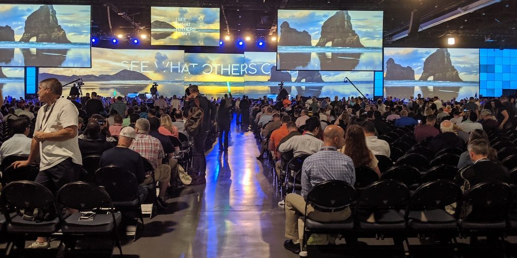
The San Diego Convention Center hosts the conference’s dizzying 18,000 attendees from around the globe. Every half hour block packed in a dozen fascinating workshops, talks and interest groups to learn from and for those with any propensity for FOMO it could have been agony were it not for friendly ESRI staff who kindly offered to show me around and propose a few names to jot down and follow up with later. Add in the constant bumping into every GIS colleague I’d ever worked with, it was a surprisingly easy crowd to dive into. These are, after all, nerds. My people.

It was more fun than I expected. ESRI has modernized substantially since my first dabbling with ArcView 3.1 in 2008. They have a greater focus on web applications now and have pivoted to pitching ArcGISonline hard, stocking it with an impressive and natively-installed library of open source data in their Living Atlas. Their development team had been doing mind-boggling things with City Engine and the demonstrations of editing rasters in place without pre-processing brought audible gasps to the audience. And in real time! There were almost no prerecorded software demos that I could detect – most of the presentations were entirely live in front of enormous audiences – representing a faith in ESRI products that I have never had for anything in my own life, ever.
Representing Resiliency Maps at the ESRI User Conference felt a little like infiltrating the Death Star disguised in a stolen stormtrooper uniform.
At the end of the week I went to an ArcGISPro cartography workshop with ESRI’s resident rockstars Keith Field and John Nelson and saw the kinds of map wizardry that lets desktop users crank out gorgeous maps using only ArcGISPRO without (much) need for PhotoShop or Illustrator. Such an immersive commercial can seep into your pores. My deep, personal allegiance to QGIS quivered. Between Field’s wry joke about a Shetland Islands inset map and Nelson using mask functions to change rendering order there was as much applause as a celebrity cooking show. A t-shirt cannon would not have been out of place. I greedily sopped up as many laptop stickers as I could even for services that I have never used nor harbored any intention of using. This was an ecstasy that, as a PC user, I had never experienced before.
Most usefully to my purposes, however, I met with members of the emergency response community and learned about their specific programs. There were example dashboards and community engagement tips with fire fighters, risk managers and damage assessors that showed how essential it is to unify these tasks into simple, complete workflows so that they can be used effectively. ArcCollector has been the perennial favorite and almost every talk was in some way a restatement of its capability. I still haven’t seen a good open source alternative for it. (If you have, drop me a line.)
Thank you #Esri for another amazing party! Happy 50th! #EsriUCParty pic.twitter.com/pjsjT6nYJU
— Tonya (@kauhi71) July 12, 2019
https://platform.twitter.com/widgets.js
On my last night of the ESRI UC, the convention relocated to Balboa Park to celebrate ESRI’s 50th anniversary. After an exhausting week, I shuffled wearily through the San Diego History Museum with a frozen banana and watched several of my fellow geographers poring over a giant 19th-century map of the city painted on the floor, pointing and tracing the lines.
We were all tired by the end but never so much that we were off brand.