FLORENCE, Italy — Resiliency Maps can be made for any city. And the fastest way to get people good-scared* is to show them they don’t have a clue about their surroundings. Or build awareness when they do.
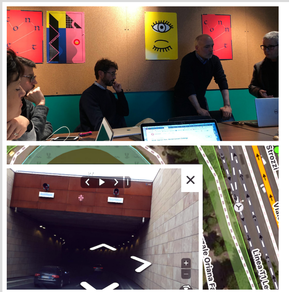
Our recent meetup in Florence for OpenStreetMap GeoWeek was the first outside the United States. The idea was to gather folks to talk about flood hazards — the city’s most pressing emergency, after seismic risks — and contribute to OpenStreetMap. There was a good showing from the University of Florence and local OSM experts for a three-hour workshop on a Saturday afternoon, hosted by The Student Hotel.

The capital of Tuscany has long contended with the Arno river running through it. Since its first known flood in 1177, the river has breached its banks and inundated Florence 56 times. Water scars run deep around the city, in the form of flood markers or the Palazzo Capponi alle Rovinate and the church of Santa Lucia delle Rovinate – both named after families ruined by floods.

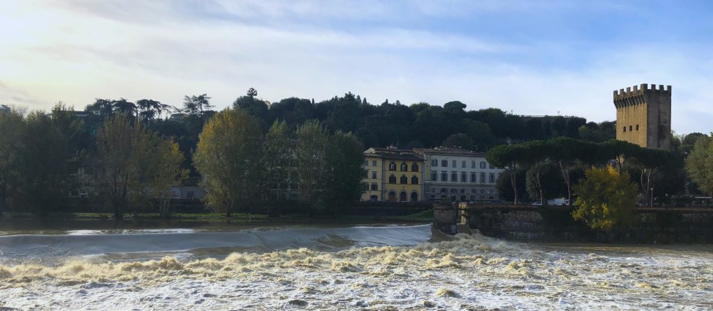
As we finished up, the storms came in. The water that hit over the next 24 hours buoyed the Arno to levels not seen since 1992, with two thousand cubic meters rushing in every second. Work on the overflow basin after that flood spared the city the worst, but it’s still a good reminder of why these making these maps matter.
Lo so, fa impressione. Il picco sarà nel pomeriggio, ma ci assicurano sarà al di sotto dei 5 mt. che sono il secondo livello di guardia. Tutta questa acqua, con la pressione che fa, crea disagi a fognature e caditoie, con possibili allagamenti.#arno #allertameteoTOS pic.twitter.com/g5TrQ9629v
— Cristina Giachi (@CGiachi) November 17, 2019
We look forward to bringing Resiliency Maps to a city near you — get in touch!

*This is a place somewhere between “if disaster happens, it’s destiny” and “get it together or we’re all gonna DIE!” Too fatalistic and you don’t prepare at all, go overboard and you’ll never leave the house.
Cover photo: The Arno river on November 18, 2019.
